Optimize your inputs. Improve your sustainability. Reduce your workload.
Colorado Agriculture & Forestry Drone Services
This is our specialty.
In addition to being a Master of Agriculture, I’ve spent the better part of my working life in, on, and around farms of all kinds. This includes about 6 years of working in agricultural drone operation. Whether you are working with cultivated fields, forested hills, rangeland, or something in between, I can provide you with useful data to get the most out of your land.
Check out the information below for some ideas on how drones can be used to improve your farm operation or develop sustainable land management plans!
What can drones do for me?
Vegetation.
Mapping can be used to visualize plant health, estimate biomass, and develop management plans.
Forestry
Wildfire fuel load, canopy cover, remediation and recovery tracking, tree stand counts, disease and pest monitoring, flooding or fire damage assessment, and more.
Agriculture
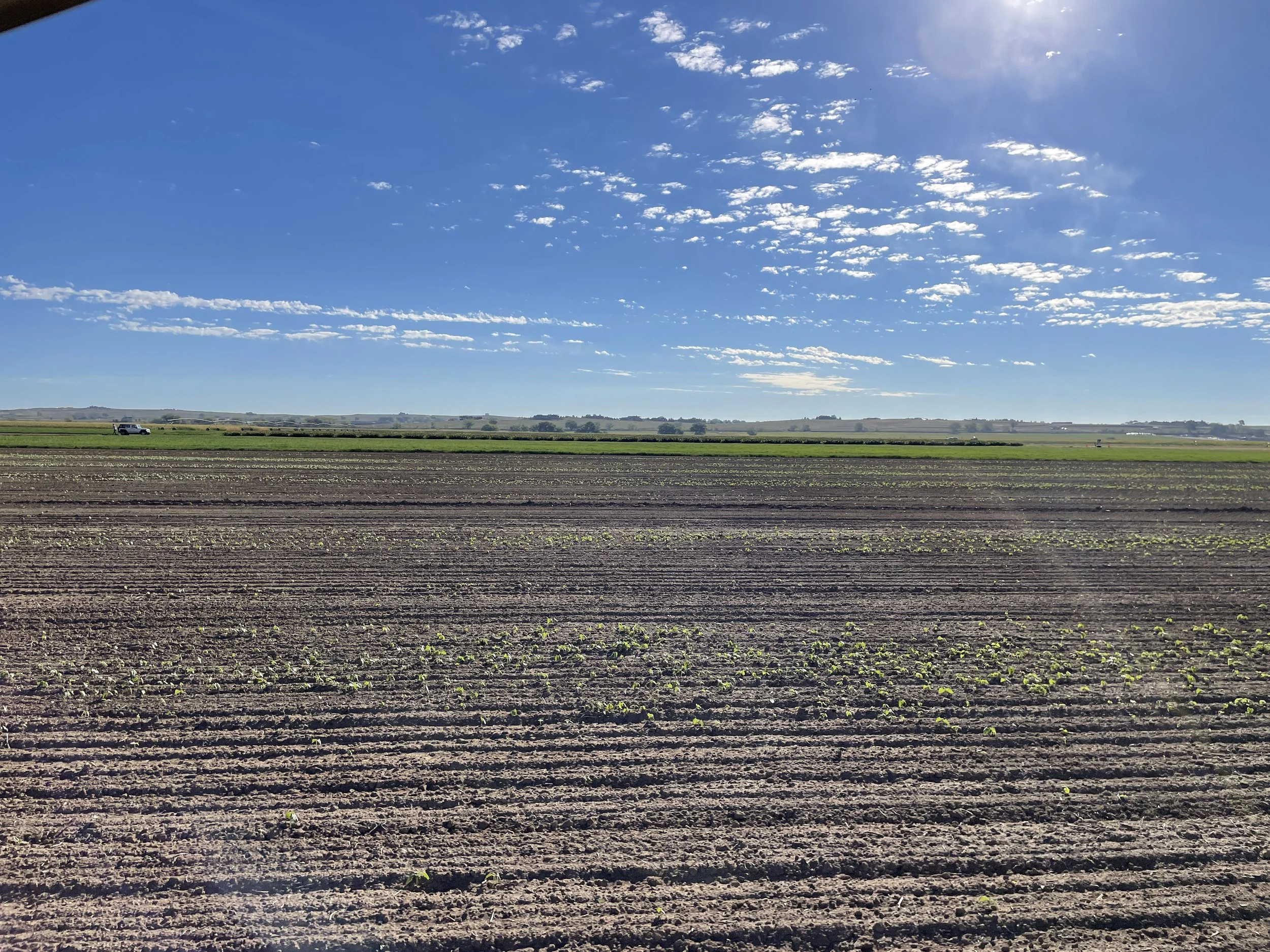
Drought stress, nutrient deficiencies, disease and pest monitoring, maturity, hail damage assessment, forage volume, seedling emergence, weed infestations, and more.
Irrigation.
Plan improvements
to your system or
troubleshoot issues in
existing infrastructure.
Topography.
Plan build sites and determine direction of water flow.
Site Planning.
Generate an overhead map to visualize facilities and resources.
Access road planning, grazing and paddock design, animal handling facility layout, fencing and building sites, utility plans, etc.
Livestock.
Track your herd movement, health, and head counts.
Marketing.
Promotional photos and videos for social media or website.
What types of imagery can we provide?
-
Multispectral.
Multi-wavelength sensor that identifies the amount of light being reflected by an object at different wavelengths.
Most useful in identifying plant matter and evaluating plants for health or stress.
-
Thermal.
Infrared sensor that is identifies the surface temperature of an object.
Useful for identifying water or animals and calculating the surface temperature of soil, buildings, or objects.
-
RGB.
No different than the digital camera in your phone but at a high resolution.
Primarily for photos and videos. In downward view, many photos can be taken to create an overhead map of a large area.
-
Topographic.
3D models are developed based on internal camera calculations and RTK-level positioning.
Models can be developed for ground surface, to calculate the height of objects, or to calculate the volume of an object.


